Why Timing Changes Everything on a Legendary Route
Iconic American highways aren't static experiences - they're living corridors that shift dramatically with the calendar. The same stretch of asphalt that rewards a June driver with wildflower meadows might punish a November traveler with road closures and ice. Understanding seasonal windows isn't just logistical housekeeping; it's the difference between a transcendent drive and a frustrating one.
For travelers already comfortable with mainstream destinations and hungry for richer experiences, seasonal timing is often the final unlock. See our road trip planning hub for the full framework, and check our guide on how climate should shape your itinerary before committing to dates.
| PCH Best Season | Late April - Early October (Caltrans seasonal road condition patterns) |
| Blue Ridge Parkway Foliage Peak | Mid-to-Late October (National Park Service seasonal data) |
| Route 66 Ideal Windows | April-May & September-October (Regional climate averages, NOAA) |
| Going-to-the-Sun Road Open Window | Late June - Mid-September (varies by snowpack) (Glacier National Park, NPS) |
| Blue Ridge Parkway Bloom Season | Late May - June (rhododendron) (National Park Service) |
| Peak Summer Desert Temps (Route 66 AZ/NM) | Can exceed 105°F (NOAA historical climate data) |
Route by Route: Peak Windows and What to Expect
Pacific Coast Highway (California Highway 1)
The PCH's legendary stretch through Big Sur is most reliable between late April and early October. Summer fog is real - morning marine layers frequently obscure the cliffs before burning off by midday. Spring brings wildflowers and thinner crowds; fall delivers the clearest coastal light of the year. Winter brings landslide risk and periodic road closures; always check Caltrans road conditions before traveling. The most overlooked stretches of Highway 1 reward travelers willing to time their visit for shoulder season quiet.
Blue Ridge Parkway
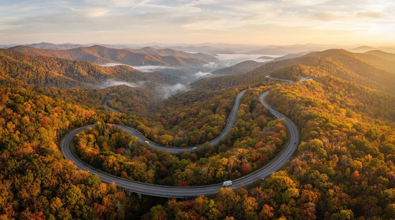
Arguably America's most seasonal road, the Parkway peaks twice: mid-to-late October for fall foliage (the most visited window by far) and late May through June for rhododendron blooms. Summer is pleasant but hazy. Winter closures are common above 3,500 feet. For a deeper comparison of this corridor with its neighbor, see Blue Ridge Parkway vs. Skyline Drive.
Route 66
The Mother Road spans such varied terrain - from Illinois plains to Mojave Desert - that no single month suits the entire route. Generally, April through May and September through October offer the most balanced conditions: mild desert temperatures, open roadside attractions, and manageable crowds. Summer driving through Arizona and New Mexico can push past 105°F in exposed sections. The mythology and history of Route 66 make it worth planning carefully around the heat.
Going-to-the-Sun Road (Glacier National Park)
This alpine crossing typically opens fully only between late June and mid-September, depending on snowpack - and some years the full road doesn't clear until July. The window is narrow but extraordinary. Timed-entry vehicle permits are required during peak season; verify current requirements with the National Park Service well in advance. Our guide on driving the Going-to-the-Sun Road covers the specifics the maps won't tell you.
Shoulder Season
The weeks immediately before or after a destination's peak travel period. Shoulder season typically offers reduced crowds and competitive conditions while retaining most of the destination's appeal.
Alpine Road Closure
A temporary shutdown of a mountain highway due to snow, ice, or avalanche risk. High-altitude roads like Going-to-the-Sun are subject to closures that can last into summer depending on annual snowpack.
Timed-Entry Permit
A reservation system used by some national parks and scenic corridors to limit vehicle traffic during peak hours or seasons. Permits are typically issued by the managing agency and must be secured before arrival.
Marine Layer
A coastal weather phenomenon where cool, moist air settles close to the ocean surface, often producing dense fog. Common along the California coast in summer mornings, it can obscure scenic views until mid-morning.
Planning Smart Before You Hit the Road
Seasonal knowledge is only useful if it's paired with logistical prep. High-demand corridors like the Blue Ridge Parkway in October or the PCH in July can see congestion that erodes the very experience you came for. Shoulder-season travel - the weeks just before or after peak - often delivers 80% of the scenery with a fraction of the traffic.
If you're still weighing which type of route fits your style, coastal vs. interior drives breaks down the trade-offs, and our scenic roads vs. highway efficiency guide helps you balance the view against the miles. Finally, before committing to any famous route, run through the pre-trip readiness checklist - permit requirements, fuel gaps, and cell coverage vary more than most travelers expect.
469 miles
Length of the Blue Ridge Parkway
The Blue Ridge Parkway is the longest linear national park in the United States, managed by the National Park Service.
~2,400 miles
Full length of historic Route 66
Route 66 originally stretched from Chicago, Illinois to Santa Monica, California, passing through eight states.
50 miles
Length of Going-to-the-Sun Road
The Going-to-the-Sun Road crosses the Continental Divide through Glacier National Park, according to the National Park Service.