From permit requirements on alpine roads to fuel gaps in desert corridors, use this checklist to prepare before tackling any iconic American route.
Key Takeaways
Permit requirements and timed-entry systems now apply to several iconic American scenic routes - check before you go.
Fuel gaps of 50 miles or more are common on remote desert and alpine corridors; plan accordingly.
Seasonal road closures can shut famous routes for months - timing your visit matters as much as the drive itself.
Vehicle size and weight restrictions apply to specific roads, including Going-to-the-Sun Road in Glacier National Park.
Emergency communication planning is essential in areas with no cell coverage, which includes many celebrated routes.
A completed pre-trip readiness check reduces on-road surprises and lets you actually enjoy the scenery.
Why Iconic Routes Demand a Different Kind of Preparation
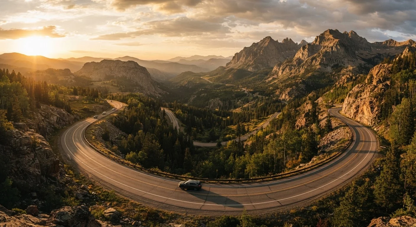
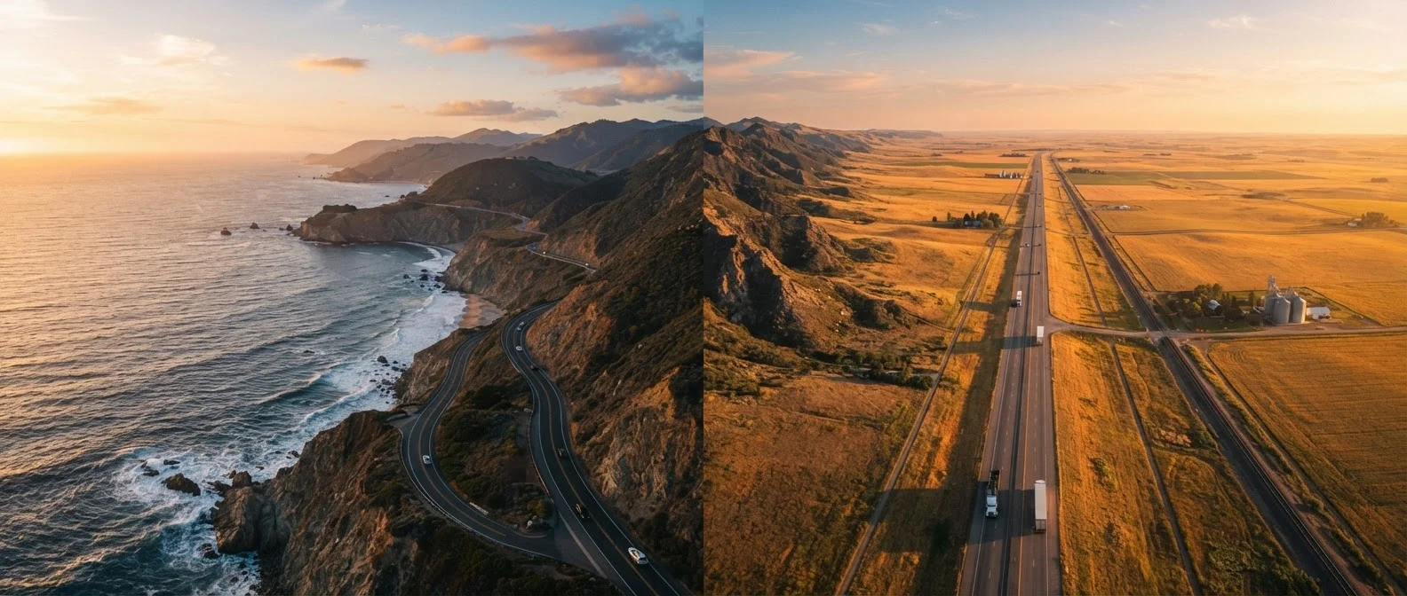
Famous scenic highways earn their reputations by being extraordinary - but that same character that makes them unforgettable also makes them unforgiving for travelers who show up underprepared. Alpine roads with sheer drop-offs and no guardrails, desert corridors where the nearest fuel is 80 miles away, or coastal cliff routes subject to sudden fog and rockfall don't behave like interstate highways. They reward respect and readiness.
This checklist is built specifically for iconic American routes - the kind that appear on bucket lists and require a little more homework than your average highway. Think of it as the gap-filler between a general trip plan and the specific demands of the road you've chosen. For broader end-to-end trip organization, see our full road trip planning guide. For a deep-dive on your vehicle's mechanical readiness, run through the pre-departure vehicle checklist before you leave the driveway.
Work through these items in the days before departure - not the morning of. Some of these tasks, like securing timed-entry permits or confirming road open dates, need a head start of days or even weeks.
Required
Official Park or Route Managing Agency Website
Confirms permit requirements, vehicle restrictions, seasonal open dates, and current road conditions directly from the source.
Required
Offline Mapping App (e.g., Maps.me or downloaded Google Maps region)
Provides turn-by-turn navigation without cellular connectivity, essential on remote scenic routes.
Optional
Satellite Communicator or Personal Locator Beacon
Enables emergency communication and location sharing in areas with zero cell coverage.
Required
State DOT Road Conditions Line or Website
Provides real-time information on closures, construction, weather-related hazards, and detours specific to the state the route passes through.
Optional
Portable Power Bank
Keeps navigation devices, phones, and communication tools charged during long stretches without power access.
The Pre-Trip Readiness Checklist
Use the groups below to audit every dimension of your scenic route preparation. Mark items off as you confirm them - and if something surfaces a gap, address it before you commit to a departure date.
Route Research & Access
Confirm the road is open on your planned travel dates - many scenic routes (including Going-to-the-Sun Road and Trail Ridge Road) have defined seasonal windows tied to snowpack and maintenance schedules. Check the managing agency's official site, not a travel blog.Must
Verify whether timed-entry permits, reservations, or advance passes are required for your specific route or the national park it passes through.Must
Check vehicle length, width, and weight restrictions - several alpine and coastal roads prohibit large RVs, trailers, or heavy trucks on specific segments.Must
Review the most recent road conditions report from the relevant state DOT or national park service, noting any active construction zones or closures.Must
Research the route's known seasonal hazards - wildfire smoke corridors, flash-flood zones, ice patches at elevation - and check whether those conditions are currently active.Should
Fuel, Food & Water Planning
Map every fuel stop along the route, noting the longest gap between stations. On routes like the Loneliest Road (US-50) or the Dalton Highway, gaps exceeding 50 miles are common and a low tank can strand you.Must
Carry sufficient drinking water for the entire stretch between towns, especially on desert routes - plan for at least one gallon per person per day as a baseline in hot conditions.Must
Pack enough food for the full route duration plus one extra day, accounting for the possibility of a road closure or unplanned overnight stop.Should
If towing or driving a large vehicle, note which fuel grades and station types (truck stops vs. standard pumps) are available at each stop.Should
Vehicle-Specific Preparation
Confirm your vehicle's brake system is in top condition - sustained downhill driving on mountain routes like Going-to-the-Sun Road puts exceptional strain on brakes.Must
Ensure your spare tire is properly inflated and your jack and lug wrench are accessible - remote scenic routes can mean hours of wait time for roadside assistance.Must
Check cooling system health (coolant level, hoses, radiator cap) if your route includes sustained high-altitude or desert driving where engines work harder.Should
Assess whether your tires have adequate tread depth and the appropriate rating for the road surface - some unpaved or gravel scenic routes are not suitable for standard passenger tires.Should
Navigation & Communication
Download offline maps for the entire route before departing - cell service is absent or unreliable on most iconic remote corridors, and live GPS navigation will not function.Must
Share your detailed itinerary - including planned stops, overnight locations, and expected arrival times - with someone not traveling with you.Must
Consider renting or purchasing a satellite communicator (such as a personal locator beacon or two-way satellite messenger) for routes in areas without emergency cell coverage, like the Alaska Highway.Should
Print or photograph paper backup maps and any permit confirmations - digital files are useless when your phone battery is depleted with no power source available.Nice to have
Timing & Scheduling
Check sunrise and sunset times for your drive date and plan high-exposure segments (cliff edges, narrow switchbacks) during full daylight hours.Must
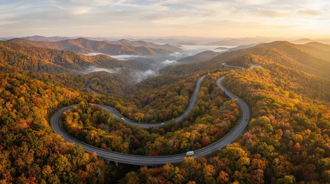
Review the scenic route's known peak-traffic windows - popular routes like Pacific Coast Highway and the Blue Ridge Parkway experience significant congestion during weekends and holiday periods.Should
Understand how timing affects the experience itself by consulting our seasonal windows guide for your specific route - foliage, wildflowers, and snow conditions vary dramatically across the calendar.Nice to have
Permits Sell Out Weeks in Advance
Timed-entry permit systems for several iconic routes - including some national park roads - routinely sell out weeks before the travel date, particularly during summer peak season. Discovering this on the day of your planned drive is a trip-ending surprise. Check permit availability as soon as you have a target date in mind, and have a backup plan in place if your first choice window is unavailable.
Remote Routes Mean Delayed Emergency Response
On isolated scenic corridors, emergency services response times can stretch to several hours - or longer. This isn't cause for alarm, but it does mean that self-sufficiency is a genuine requirement, not a nice-to-have. Carry a first aid kit, know basic roadside procedures, and make sure someone on the outside world knows your itinerary and when to raise an alarm if they stop hearing from you.
Weather Can Change Without Warning at Elevation
Alpine and mountain scenic routes can shift from sunny skies to ice, snow, or dense fog within minutes, regardless of season. Before driving any high-elevation route, check the weather forecast for the specific elevation band you'll be driving - not just the nearest town. Afternoon thunderstorms are a near-daily summer occurrence in the Rockies, and ice on switchbacks can appear in any month above a certain altitude.
Once you've cleared this checklist, take a final look at our pre-departure itinerary checklist to confirm your logistics are locked in. And if you're planning an especially ambitious long-haul journey, the cross-country preparation framework is worth a read alongside this one.
Road Trip Culture Editorial Team is the collective byline for our editorial team and contributor network. Articles published under this byline or an editorial pen name are researched, written, and reviewed according to our editorial standards for clarity, consistency, and independence before publication.
The content on this site is for informational purposes only and is not a substitute for professional advice. Always consult a qualified professional for guidance specific to your situation.