Scale, Scope, and How They Fit Together
Here's a fact that surprises many first-timers: Skyline Drive and the Blue Ridge Parkway are literally connected. Skyline Drive ends at Rockfish Gap in Virginia, where the Blue Ridge Parkway begins its southward run to Cherokee, North Carolina. Together they form one of the longest continuous scenic corridors in the United States - but driving both end-to-end requires serious planning.
Skyline Drive, at 105 miles, sits entirely within Shenandoah National Park and is managed by the National Park Service with a posted speed limit of 35 mph. Entry requires a park fee. The Blue Ridge Parkway, at 469 miles, is itself a unit of the National Park Service - often called "America's Favorite Drive" - but functions more like a scenic road than an enclosed park. There's no entrance fee, and the corridor passes through national forests, private land, and tribal lands as it threads through two states.
Understanding this distinction helps set expectations. Skyline Drive is curated and compact; the Blue Ridge Parkway is expansive and varied. For context on how to think about this kind of trade-off in route planning, see our guide to scenic roads vs. highway efficiency.
| Criterion | Blue Ridge Parkway | Skyline Drive |
|---|---|---|
| Length | 469 miles | 105 miles |
| States Covered | Virginia & North Carolina | Virginia only |
| Entry Fee | None | Shenandoah NP fee required |
| Highest Elevation | ~6,047 ft (Richland Balsam) | ~3,680 ft (Hawksbill Summit area) |
| Speed Limit | 45 mph max | 35 mph max |
| Wildlife Density | Moderate | High (bears, deer, birds) |
| Cultural Landmarks | Mabry Mill, Folk Art Center, Cherokee | Byrd Visitor Center, Limberlost Trail |
| Typical Drive Time | Multi-day (3-5 days recommended) | 1-2 days |
Landscapes, Landmarks, and What You'll Actually See
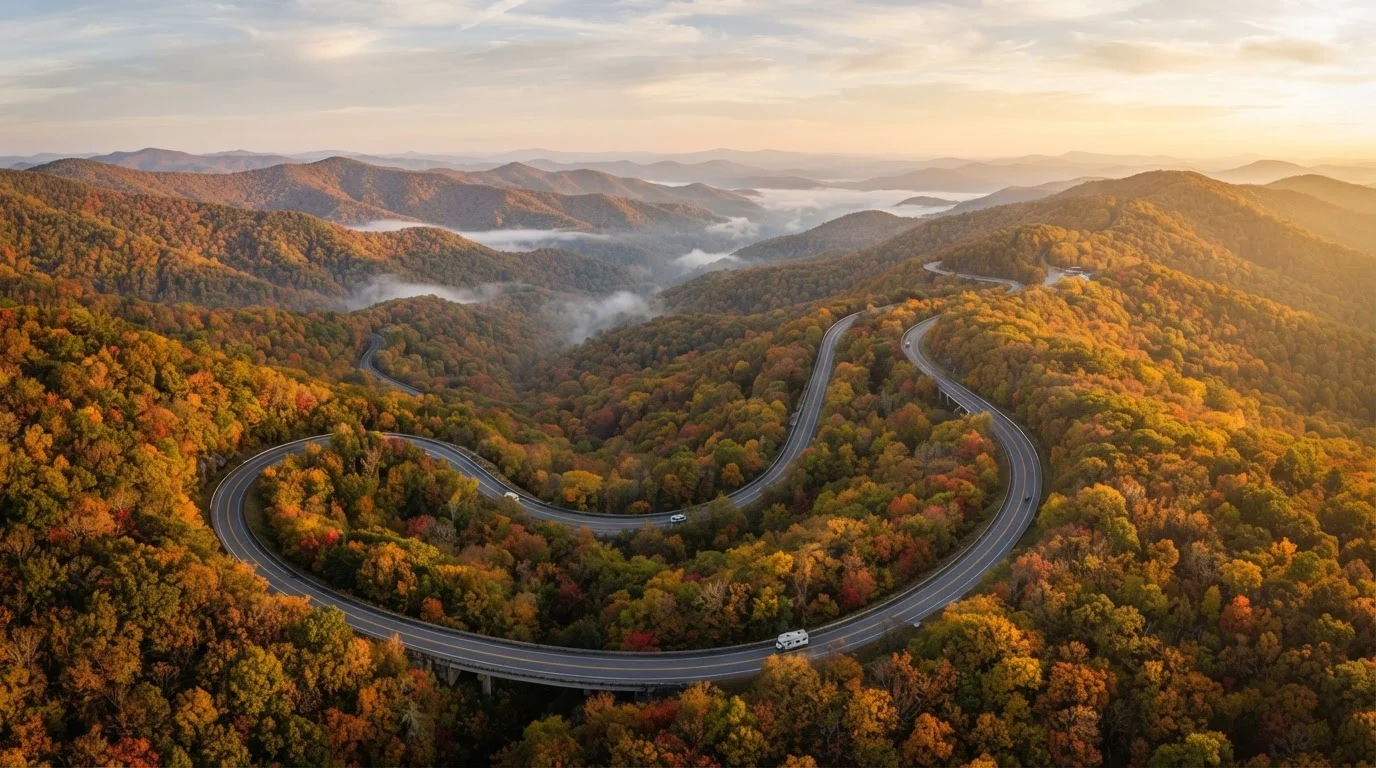
Skyline Drive hugs the spine of the Blue Ridge Mountains through Shenandoah, where the park's reforested slopes create a dense, enclosed feeling. Over 75 overlooks face east toward the Piedmont or west toward the Shenandoah Valley. Wildlife encounters - white-tailed deer grazing roadside at dusk, black bears crossing in the early morning - are genuinely frequent here, especially in spring and fall.
The Blue Ridge Parkway opens up as it heads south, transitioning from Virginia's gentler ridgelines into North Carolina's higher, sharper peaks. Mabry Mill in Virginia (one of the most photographed structures on the Parkway) and the Folk Art Center near Asheville anchor distinct cultural stops. The road crests above 6,000 feet near Richland Balsam - the highest point on the entire Parkway. The Cherokee Nation's Qualla Boundary borders the southern terminus, adding a layer of Indigenous history that shapes how attentive travelers understand this landscape.
For a fuller picture of what Appalachia actually represents beyond its scenery, this look at Appalachia's cultural geography is essential reading before you go.
469 miles
Blue Ridge Parkway total length
The Parkway runs from Rockfish Gap, Virginia to Cherokee, North Carolina, making it the longest linear parkway in the U.S. National Park System.
~15 million
Annual Blue Ridge Parkway visitors
The Blue Ridge Parkway consistently ranks among the most-visited units in the entire National Park System, according to NPS visitation data.
75+
Overlooks along Skyline Drive
Shenandoah National Park maintains over 75 named overlooks along Skyline Drive, offering views east and west from the Blue Ridge crest.
Seasonality, Access, and Practical Considerations
Both roads close segments during winter weather - ice and snow are serious at elevation - though the Blue Ridge Parkway typically sees more and longer closures due to its higher peaks in North Carolina. Skyline Drive closes entirely during certain winter weather events; check the NPS site before any late-fall or winter visit.
Fall foliage is the marquee season for both, but timing varies by elevation and latitude. Northern Skyline Drive typically peaks in mid-to-late October; the southern Parkway's highest elevations can peak earlier in October, while lower sections linger into November. Spring wildflower season on the Parkway - particularly around Craggy Gardens and Graveyard Fields - is a genuinely underappreciated window. Seasonal timing across America's iconic routes breaks down these windows in detail.
Vehicle size matters on both roads. Larger RVs and vehicles with trailers should consult NPS advisories - some tunnels and sharp curves on the Blue Ridge Parkway have posted length restrictions. Neither road was designed for speed: both reward drivers who stop frequently, sit at overlooks, and resist the urge to treat them as throughways.
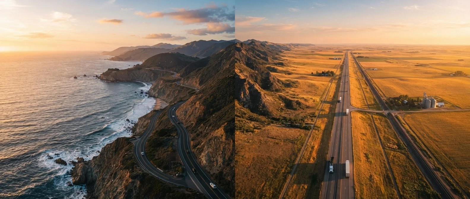
If you're curious how these Appalachian drives stack up against more dramatic western routes, Glacier's Going-to-the-Sun Road offers a sharp contrast in scale and intensity. And for travelers still deciding between mountain and ocean corridors, coastal vs. interior drives lays out that broader trade-off.
Before You Go: Verify Current Conditions
Segment closures, fee changes, and facility hours on both roads can shift with weather, budget cycles, and maintenance schedules. Always check the official NPS sites for the Blue Ridge Parkway (nps.gov/blri) and Shenandoah National Park (nps.gov/shen) before your trip. Neither road should be treated as always fully open, particularly in winter months or after significant storms.