What the Highlight Reels Leave Out
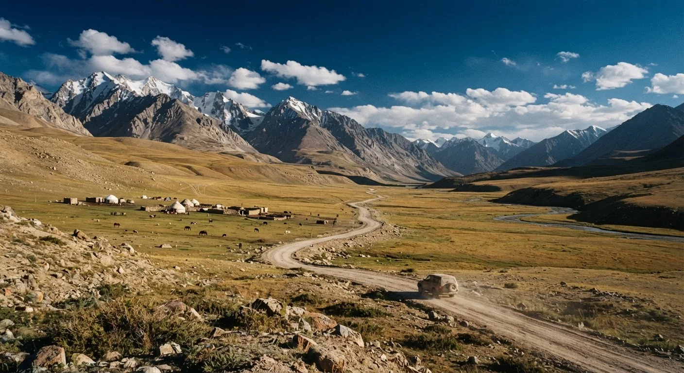
The Pamir Highway - officially the M41, stretching roughly 1,200 kilometers from Dushanbe, Tajikistan to Osh, Kyrgyzstan - occupies a specific romantic space in the travel imagination. Instagram frames it as a continuous ribbon of asphalt threading between snow-capped giants. Blog posts title it "the world's second-highest highway" and leave it at that, as if altitude alone is the only variable worth mentioning.
What most of those accounts skip: the weeks of logistical groundwork, the bureaucratic complexity of the GBAO permit required for the Gorno-Badakhshan Autonomous Region, the very real possibility of being stranded by rockslide, flood, or mechanical failure far from any settlement with a mechanic. This is not a discouragement. It's a recalibration. The route is extraordinary precisely because it is genuinely difficult - and travelers who arrive understanding that tend to leave with the experiences they came for.
For a broader look at how planning gaps derail remote Asia itineraries, see our guide to off-grid Asia logistics.
Myth
The Pamir Highway is a paved road the whole way - just long and high.
Fact
Large sections of the M41 are unpaved gravel, and road conditions change significantly with season and weather events.
The highway is paved between Dushanbe and Kalaikhum, and again near Murghab and Osh, but significant gravel and broken-asphalt stretches exist throughout. After spring snowmelt or heavy rain, sections become deeply rutted or temporarily impassable. A standard sedan will struggle; high-clearance 4WD vehicles are the norm for good reason.
Myth
You can complete the route comfortably in four or five days.
Fact
Most experienced travelers budget ten days to two weeks to account for delays, acclimatization, and meaningful stops.
The math of distance versus days looks deceptively simple until you factor in altitude acclimatization stops, border crossing wait times at Ishkashim or the Kyrgyz frontier, unexpected road closures, and the time needed to actually engage with Pamiri villages, hot springs at Garm Chashma, or the surreal plateau around Karakul Lake. Rushing the route is both a safety concern and a genuine waste of what makes it worthwhile.
Myth
Altitude sickness mostly affects people who are out of shape or inexperienced at altitude.
Fact
Acute mountain sickness at the Pamir's elevations can affect anyone, regardless of fitness level or prior high-altitude experience.
Much of the central Pamir plateau sits above 3,600 meters; Ak-Baital Pass, the highest point on the highway, reaches approximately 4,655 meters. Altitude sickness is physiological, not a fitness test. Even seasoned trekkers with Himalayan experience have reported symptoms on the M41. Gradual ascent, adequate hydration, and awareness of symptoms - headache, nausea, disorientation - are non-negotiable. Travelers should discuss altitude medication options with a healthcare provider before departure, not after arrival.
Myth
Supplies and basic services are available in towns along the route.
Fact
Between major points like Khorog and Murghab, settlements are small and provisioning options are extremely limited.
Murghab, the largest settlement on the high plateau, has small markets but stock varies and gaps are common. Between villages, travelers may cover 150 to 200 kilometers of near-empty terrain. Carrying three to four days of food, a water filtration system, a first-aid kit, and a satellite communicator is standard practice among travelers who have done the route before - not paranoid overpacking.
Myth
The GBAO permit is easy to get on arrival or at the last minute.
Fact
The GBAO permit must be obtained in advance - typically attached to your Tajik visa application - and cannot be reliably acquired at checkpoints.
The Gorno-Badakhshan Autonomous Region requires a separate permit in addition to the standard Tajikistan visa. As of recent years, it can be added during the e-visa application process, but the processing timeline and requirements can shift. Travelers who arrive without it face being turned back at checkpoints. Confirm current requirements with official Tajik government sources or your country's foreign affairs office well before travel.
The Ground-Level Reality of Driving the M41
The question of whether to travel independently or with support is one of the most consequential decisions on any Pamir itinerary. Unlike, say, Going-to-the-Sun Road in Montana, where ranger stations and paved pullouts appear at reliable intervals, the M41 can go 100 kilometers or more without a functioning fuel station. Travelers driving hired 4WDs often carry additional fuel in jerry cans - not as a precaution but as a baseline requirement.
The Wakhan Valley, which branches southeast from the main highway toward Afghanistan's narrow corridor, adds another layer of remoteness. If that route is on your radar, the realities are distinct enough to warrant separate preparation - our Wakhan Corridor trekking overview covers the terrain and cultural context in detail.
4,655 m
Elevation of Ak-Baital Pass, the highway's highest point
Ak-Baital is among the highest motor passes in the world, comparable in altitude to advanced Himalayan trekking routes.
~1,200 km
Total length of the M41 from Dushanbe to Osh
The full route spans two countries and crosses dramatically different terrain, from river gorges to open high-altitude steppe.
10-14 days
Realistic travel time for the full route
Experienced travelers and overland guides consistently recommend this range to allow for acclimatization, delays, and meaningful exploration.
For travelers weighing whether to hire a local fixer or coordinator, the honest answer depends heavily on language skills, mechanical confidence, and tolerance for genuine uncertainty. Our piece on traveling without a fixer in Central Asia lays out the real tradeoffs without a sales pitch in either direction.
Medical Facilities Are Extremely Limited
The nearest hospital with meaningful capacity for the central Pamir region is in Khorog, and evacuation from remote sections can take many hours under good conditions. Travel insurance that includes emergency medical evacuation coverage is strongly advised. Consult a travel medicine specialist before departure - not just a general practitioner unfamiliar with high-altitude risks. Do not rely on being able to access care quickly if something goes wrong.