
The Gap Between the Map and the Ground
There is a particular kind of confidence that experienced travelers carry into remote Asia - earned through years of navigating Southeast Asia's backpacker trails or Central Asia's city-to-city bus routes. That confidence, when misapplied, tends to unravel somewhere between a washed-out dirt track in Yunnan and a checkpoint in Nagaland where the permit you printed at home turns out to be the wrong category.
Off-grid Asia is not a single experience. It spans the high-altitude trekking corridors of the Pamir, the river delta villages of Myanmar's Ayeyarwady, the restricted tribal zones of India's northeast, and the unmaintained mountain passes of Kyrgyzstan's Tian Shan. What these places share is a logistics gap - the space between what travel forums describe and what travelers actually encounter on the ground. Closing that gap requires a different kind of preparation than most itineraries account for.
The mistakes below aren't hypothetical. They're patterns that emerge across remote Asia travel again and again, costing travelers time, money, access, and occasionally safety. Understanding why they happen - and what to do instead - is where genuinely rewarding off-grid travel begins. For travelers heading into these regions, the Pre-Departure Checklist for Remote Asia Travel provides a structured framework to work through before departure.
Assuming permits can be arranged on arrival or informally at the checkpoint.
Why it happens: Many travelers conflate the flexibility of popular tourist zones - where rules bend - with restricted areas where they genuinely don't. Forum posts describing workarounds from years past create false confidence.
Building an itinerary that doesn't account for seasonal road closures or monsoon disruption.
Why it happens: Travelers research routes using images and accounts from the dry season, then book during shoulder or wet periods without checking which passes or roads close - sometimes for months.
Relying on mobile data and online maps throughout regions with significant connectivity blackouts.
Why it happens: Travelers test signal in a regional capital, find it serviceable, and assume coverage holds across the entire region. It often doesn't 50 kilometers outside the city.
Underestimating the time and cost of local ground transport, especially the final stretch to a remote destination.
Why it happens: Online research surfaces the headline journey (flight to regional hub) but not the complex, multi-leg ground segment that follows - often the most time-consuming and expensive part.
Treating local service providers and transport operators as if they work on Western itinerary schedules.
Why it happens: Travelers book everything tightly, expecting the logic of a scheduled transport system where instead they encounter demand-based, relationship-driven local economies.
Neglecting to account for health and altitude logistics in high-elevation or medically underserved regions.
Why it happens: Travelers focus on the cultural and geographic appeal of a destination without mapping where the nearest medical facility is or how altitude gain affects their specific itinerary.
The Logistics Realities That Rewrite Your Plans
Even when travelers research diligently, certain systemic realities of remote Asia travel tend to get underweighted. Ground transport in many regions operates on demand and informal schedules - a shared jeep from Skardu to Askole may leave when full, which could mean 6 a.m. or noon. River crossings in Laos or Cambodia's northeastern provinces depend on water levels that vary week to week. In some parts of Inner Mongolia and Tibet, fuel stations are separated by distances that exceed the range of a standard vehicle tank.
~40%
Asia's land area classified as remote or sparsely connected
Estimates from geographic accessibility studies suggest a large proportion of Asia's landmass falls outside reliable transport or communication infrastructure zones.
3-7 days
Typical delay from unexpected road closure or permit issue
Travelers reporting on remote Asia routes in overlanding communities frequently cite multi-day delays when a single logistics assumption proves incorrect.
Connectivity blackouts are another category travelers consistently underestimate. Vast stretches of Tajikistan, remote Bhutan, and much of island Southeast Asia outside major centers have limited or no mobile signal. Offline maps downloaded to a device before departure - including detailed topographic layers - can be the difference between a navigational challenge and a genuine emergency. Our guide to staying connected and safe in remote stretches covers communication tools and emergency gear worth considering.
The financial dimension also surprises travelers. Permit fees, mandatory guide requirements, road toll collections, porter fees at trailheads, and informal crossing fees at river points add up in ways that are genuinely hard to forecast without regional knowledge. These aren't scams - they're infrastructure realities in areas that lack the formal tourism economy of popular destinations. Hidden costs that catch even experienced travelers explores this pattern across travel contexts more broadly.
Finally, the question of independent travel versus working with a local fixer or guide deserves honest consideration for many remote Asia routes. The tradeoffs are real in both directions - the honest pros and cons of traveling without a fixer in Central Asia are worth weighing carefully before committing to either approach. And wherever travelers go in fragile remote communities, the question of impact matters - what responsible travel actually looks like in these settings is more specific than general ethical principles suggest.
Seasonal Closures Can Last Weeks, Not Hours
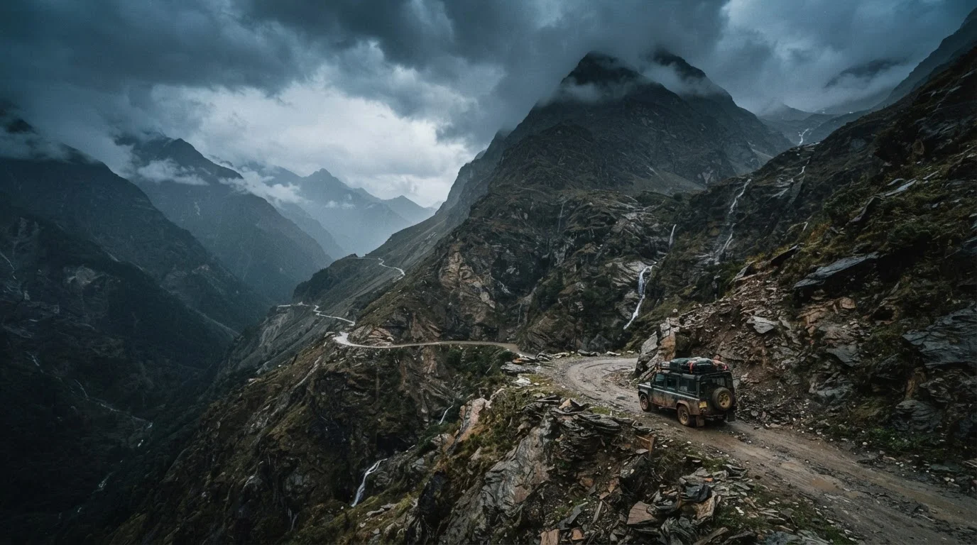
In many parts of the Himalayas, Karakoram, and Central Asian mountain ranges, road closures following snowfall or landslide activity are not cleared on predictable schedules. A pass closed by an October snowstorm may not reopen until late spring. Travelers without flexible onward plans - and without the budget to extend stays or reroute - can find themselves genuinely stranded. Always verify current road status through local transport authorities or guesthouse networks within 48-72 hours of attempting a high-altitude route.