Why Markers Are Worth a Second Look
Most drivers clock a brown or blue roadside plaque at 60 mph and keep moving. That's understandable - highway markers are easy to dismiss as bureaucratic furniture. But each one represents a deliberate decision by a state historical commission, a local preservation society, or a federal program to pin a specific event, person, or place to the landscape. They're curated, sourced, and approved through formal review processes that can take years.
The United States has more than 250,000 roadside historical markers, according to the Historical Marker Database - a volunteer-maintained registry that catalogs plaques across all 50 states. That density means virtually any road trip, from an interstate sprint to a designated scenic byway, passes dozens of markers. The question is whether you're equipped to extract what they're telling you.
Markers Reward Slow Travel
Historic markers cluster most densely along old pre-interstate routes - the Lincoln Highway, the National Road, US Route 1 - rather than on modern interstates. If you're planning a trip where absorbing roadside history is part of the goal, consider routing through those older corridors. They were built to move people through communities, not past them.
Understanding the Marker System Before You Hit the Road
No single federal body oversees historic highway markers - each state administers its own program, which is why you'll notice dramatic differences in color, shape, and writing style as you cross state lines. Pennsylvania's markers are blue and gold; Texas uses white on dark blue; Virginia uses gray-green cast aluminum. These visual identities are intentional brand systems, not arbitrary choices.
Beyond state programs, look for markers bearing the logos or header text of additional sponsors: the National Park Service, State Departments of Transportation, local historical societies, or the National Scenic Byways Program. A marker might carry multiple crests if the site qualifies under overlapping jurisdictions. Before your trip, browsing the Road Trip Planning hub can help you map which marker-heavy corridors align with your intended route.
What you will need
Step-by-Step: How to Read a Historic Highway Marker
Once you know what to look for, decoding a marker takes under two minutes - even at a quick roadside stop. Follow these steps the next time a plaque catches your eye.
Pull off safely and note the marker's color and shape
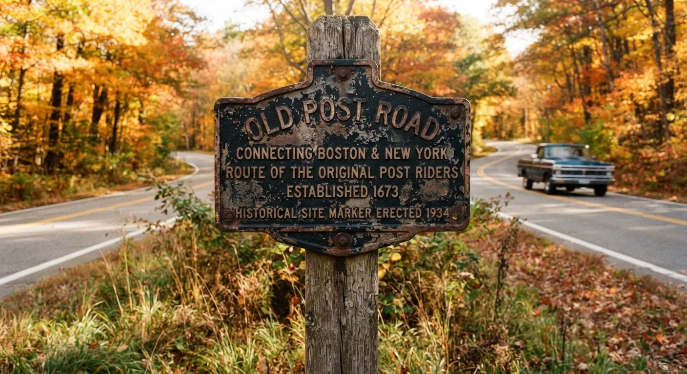
Before reading a word, observe the physical marker itself. Color and shape are your first data points. A blue-and-gold marker in Pennsylvania signals the state's official program. A brown marker with a National Park Service arrowhead logo indicates federal involvement. Oval markers often denote National Historic Landmarks; rectangular ones are more common for state programs. Photograph the full marker - both the main face and any reverse side - before you start reading.
Read the header text and program identifier
The top line or embossed header of most markers names the sponsoring program - often the state's official name followed by "Historical Marker" or a similar designation. Some markers include a unique alphanumeric code (e.g., "A-47" or "CHC-12") that references a state registry entry. Write this code down or photograph it; it's your fastest lookup key when you want the full record later.
Parse the headline and body text for the five Ws
Marker text is written under strict character limits - typically 75 to 100 words - so every phrase is deliberate. Read for the five Ws: Who (person, group, or institution), What (event or significance), Where (exact site or broader region), When (dates), and Why (historical importance). Dates are often your best clue to context - a marker noting an 1830s event near a river crossing almost certainly relates to westward expansion or early commerce.
Check the fine print: county credit and erection date
The bottom of most markers includes two underused details: the county or municipality that sponsored the installation, and the year it was erected. The erection year tells you a great deal about the interpretive lens. Markers placed in the 1950s and 1960s often reflect mid-century priorities in historical memory - which events were celebrated, which were omitted. A marker placed in the 2000s or later is more likely to reflect contemporary scholarship and more inclusive historical framing.
Look for companion markers and directional cues
Many markers include phrases like "one mile north" or "near this site" - these are invitations to look further. Some historic corridors, such as portions of the old Lincoln Highway or the National Road, feature marker clusters spaced every few miles, collectively narrating a continuous story. Before you drive on, scan the immediate area for additional plaques on nearby posts, fence lines, or building facades. Then use your route-planning tools to check whether a slight scenic detour might connect you to the next marker in the sequence.
Going Deeper: Research on the Road and After
The plaque itself is just the introduction. The Historical Marker Database (hmdb.org) and most state historical society websites allow you to search by marker title, county, or GPS coordinates to pull full scholarly notes, related markers in the area, and user-submitted photographs. This is particularly valuable when a marker references a broader event - a single battle, migration corridor, or Indigenous trade route - that may be narrated across a dozen plaques spread over many miles.
If you're the kind of traveler who treats the road itself as the destination, pairing marker literacy with analog map reading skills can surface connections that GPS apps simply don't surface. A paper map of a county might show you that three markers within a five-mile stretch all reference the same 19th-century industrial corridor - context that changes how you experience each stop.
For a broader approach to choosing which roadside stops are worth the detour, see Roadside Stops Worth Slowing Down For, which covers geological formations, local diners, and viewpoints alongside historical markers.
Verify Conditions Before Stopping
Road shoulders and pull-off areas near historic markers vary widely in safety and legality. Some markers sit on active state or federal right-of-way where stopping is restricted. Always pull completely off the travel lane, use hazard lights, and check that stopping is permitted before exiting your vehicle. Conditions at any specific site may change; verify current access with local transportation or parks agencies.