Beyond the World's Driest Desert
The Atacama earns its fame. Stretching across northern Chile in ochre silence, it sits at the intersection of geologic drama and ecological extremity - and it draws crowds accordingly. But the traveler who has stood at the Valle de la Luna and thought what else is out there? is asking exactly the right question. South America's arid interior is far larger, far stranger, and far less visited than the Atacama alone suggests.
From the windblasted steppe of Argentine Patagonia to the fog-laced coastal desert of Peru's Sechura, the continent holds an entire gallery of desert landscapes - each with its own logic of light, life, and access. Some are high-altitude cold deserts. Others are hyper-arid coastal strips where rain is a rumor. A few border ecosystems so different from the surrounding terrain that crossing into them feels genuinely disorienting. This list is for the traveler ready to go further - not further into the Atacama, but further beyond it.
A Note on 'Desert' Definitions
Not all of these landscapes are hyper-arid in the technical sense. Some - like the Patagonian steppe and the Tatacoa - are classified as semi-arid or cold desert ecosystems. What unites them is low precipitation, dramatic openness, and the ecological and cultural character that aridity creates. Travelers accustomed to the Atacama's extreme dryness should research the specific conditions of each region, as temperature ranges, altitude, and seasonal moisture vary considerably.
South America's Overlooked Arid Frontiers
The Sechura Desert, Peru
Hugging Peru's Pacific coastline between the cities of Piura and Chiclayo, the Sechura is one of the largest coastal deserts in South America - and one of the least discussed. Unlike the Atacama, whose reputation precedes it by decades, the Sechura remains largely off the international travel circuit, overshadowed by Peru's Andean and Amazonian draws.
What sets it apart is the relationship between aridity and the ocean. The cold Humboldt Current cools Pacific air before it reaches the coast, suppressing rainfall while generating coastal fog - a phenomenon known locally as garúa. This moisture supports a fragile ecosystem of birds, lizards, and sparse coastal vegetation even where rain almost never falls. The nearby Huaca Prieta archaeological site and the mangroves of the Virrilá estuary add historical and ecological texture that most desert itineraries lack.
Access runs through Piura, served by domestic flights from Lima. Travelers can base themselves there and arrange day excursions into the desert interior, ideally between May and November when coastal fog is most active.
The Sechura's fog-fed ecosystem thrives without rain - one of coastal Peru's most quietly extraordinary environments.
The Monte Desert, Argentina
Stretching south from the province of Salta through Mendoza and into northern Patagonia, the Monte Desert is Argentina's own vast arid interior - and it barely appears on international travel itineraries. It's not a single dramatic landscape but a longitudinal band of shrubland, dune fields, and salt flats that changes character as it descends in latitude.
In Mendoza province, the Monte forms the dry backdrop to wine country - the landscape travelers glimpse from winery terraces but rarely enter intentionally. Further south, near San Rafael and Malargüe, the terrain opens into something rawer: volcanic plateaus, dinosaur fossil sites including the Cerro Bayo formation area, and a stark emptiness that feels nothing like the curated Andean tourism corridor. The Payunia Provincial Reserve, protecting one of the most extensive lava fields in the Southern Hemisphere, sits squarely within this stretch.
Self-drive access from Malargüe is feasible with a sturdy vehicle. Guided excursions depart from the town itself, and regional bus connections link it to Mendoza city.
Argentina's Monte Desert hides one of the Southern Hemisphere's largest lava fields within an overlooked provincial reserve.
The Puna de Atacama, Argentina
Confusingly named but distinct in character, the Argentine Puna de Atacama is not the Chilean Atacama - it's the high plateau that wraps around the northeastern edge of it, sitting mostly within Salta and Jujuy provinces at elevations above 3,500 meters. Its landscape is one of extraordinary visual intensity: electric-blue salt lakes, flamingo colonies, smoking volcanoes, and multi-colored mineral mountains that look hand-painted.
The towns of San Antonio de los Cobres and Tolar Grande serve as sparse but functional bases. The legendary Tren a las Nubes (Train to the Clouds) route passes through this terrain, though the train itself operates on a limited schedule - travelers should confirm current schedules locally. The real reward here is driving the Ruta 40 section through the high Puna, where the road is rough, the altitude demands respect, and encounters with other travelers become increasingly rare.
Altitude sickness is a genuine risk at these elevations. Allow at least two days in Salta city to acclimatize before ascending. Consult a physician if you have underlying health concerns before planning high-altitude travel.
At over 3,500 meters, Argentina's Puna offers Atacama-level drama with a fraction of the tourist infrastructure.
The Patagonian Steppe, Argentina and Chile
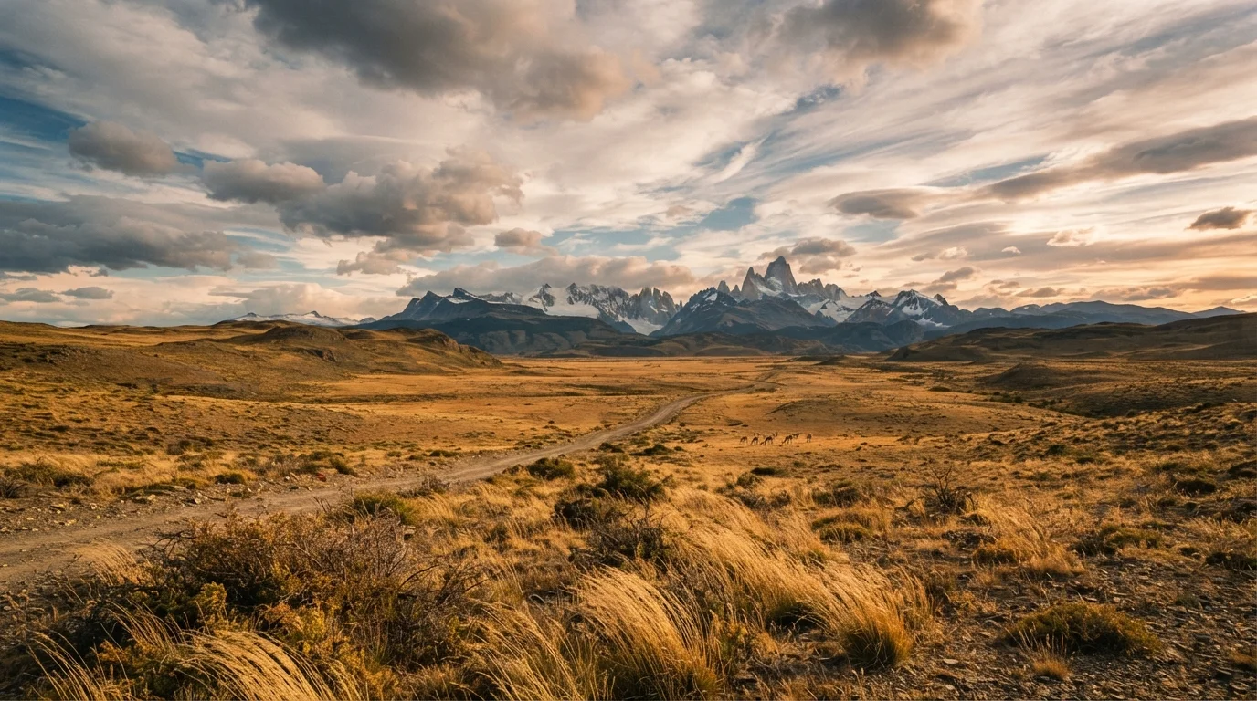
Patagonia's glaciers and peaks attract the majority of visitors, but the steppe - the broad, windswept semi-arid plateau that covers much of interior Patagonia - is where the region's older, quieter character lives. Classified technically as a cold desert, it receives little precipitation and supports a distinct flora of coiron grass, calafate shrubs, and isolated stands of lenga beech only where micro-climates allow.
In Argentine Santa Cruz province, the steppe surrounds the famous petrified forest of Bosque Petrificado Sarmiento and stretches toward the remote estancias (ranches) that have defined Patagonian life for generations. In Chile, the steppe occupies a narrow band east of the Andes before the terrain rises sharply into Torres del Paine country. A few estancias in both countries now operate as guesthouses, offering travelers direct immersion in the landscape rather than access to it only from a highway window.
Wind is the defining condition here - gusts above 80 km/h are routine in spring and summer. Pack accordingly, and treat unpaved steppe roads with appropriate caution.
The Patagonian steppe is where estancia culture endures and crowds dissolve entirely into the wind.
The Tatacoa Desert, Colombia
Colombia's Tatacoa is easy to miss on a South American desert itinerary because it doesn't fit the geographic imagination most travelers bring. A tropical dry forest region of eroded badlands in the upper Magdalena Valley, it sits roughly 40 kilometers north of the colonial city of Neiva in Huila department - an hour and a half from the nearest domestic airport. It's small by continental standards, covering around 330 square kilometers, but within that space it compresses something genuinely alien: red and gray ochre canyons carved by ancient erosion into a labyrinth of towers, gullies, and dried riverbeds.
The Tatacoa is also one of the better stargazing locations in South America. Low humidity, minimal light pollution, and clear skies during its dry seasons (June-August and December-February) make nights here visually spectacular. A small astronomical observatory at the site offers periodic public viewing sessions. Local guides from the village of Villavieja lead walks through both the red and gray sectors - the two zones differ strikingly in color and texture and are worth visiting separately.
Colombia's Tatacoa offers stargazing skies and eroded badlands within an hour of a domestic airport.
Timing Your Desert Visit
Most of South America's arid regions have a preferred travel window tied to temperature extremes, wind patterns, or road accessibility rather than rainfall. The Argentine Puna is most accessible between April and October; the Patagonian steppe is passable year-round but most hospitable from November to March. Always confirm current road conditions with regional tourism offices or local operators before setting out - unpaved routes in arid regions can become impassable after isolated rain events.
How to Approach These Landscapes
Arid environments across South America share a few practical realities: distances are long, infrastructure thins quickly outside regional hubs, and conditions can shift with more speed than a standard guidebook implies. For the Patagonian steppe and Puna regions especially, acclimatization and layering matter as much as in any mountain environment. Those crossing into Bolivia's high desert plateau should read our guide to Altiplano terrain and altitude before committing to an itinerary.
Cruise travelers passing through Patagonian ports gain a useful coastal window into steppe landscapes; our overview of South American cruise routes outlines which corridors venture closest to the arid south. For travelers comparing South America's wilderness ambitions against other regions of the world, a comparison of Patagonia, Iceland, and Kyrgyzstan offers useful perspective on what each continent-level wild region actually demands.
Wherever you go, verify entry requirements, road conditions, and any protected-area regulations through official national park authorities and your country's foreign affairs department before traveling. These landscapes reward patience and preparation - and they punish neither more reliably than overconfidence.