The Nature of Backcountry Risk
Wilderness travel rewards curiosity, fitness, and preparation - but it operates on terms set by terrain, weather, and altitude, not by itinerary. For experienced travelers venturing beyond maintained trails and resort infrastructure, the three hazards that account for the greatest number of serious incidents are river crossings, rockfall, and altitude-related illness. Each arises from a distinct set of conditions, each demands a different response, and each is significantly more manageable when understood in advance.
Risk in the backcountry is rarely a single catastrophic event. It is more often a chain of smaller decisions - a route choice made in fading light, a crossing attempted when water is higher than expected, an extra 1,000 feet of gain pushed through despite a headache. The goal of hazard awareness is not to avoid wilderness travel but to interrupt those chains before they compound. See the full financial picture of adventure travel for a complementary look at how preparation costs - including rescue insurance - factor into the real equation.
| Most dangerous time for river crossings | Mid-morning to early afternoon (peak snowmelt) |
| AMS onset altitude (general threshold) | Above ~8,000 ft (2,400 m) (Wilderness Medical Society guidelines) |
| Recommended max sleeping altitude gain per day | ~1,000 ft (300 m) above 8,000 ft (General wilderness medicine guidance) |
| Rockfall risk peaks | Late morning as freeze-thaw bond weakens |
| AMS symptom onset window | 6-12 hours after arrival at altitude |
| Primary rockfall protection in technical terrain | Helmet and rapid traversal of exposed zones |
River Crossings: Reading Water Before You Wade
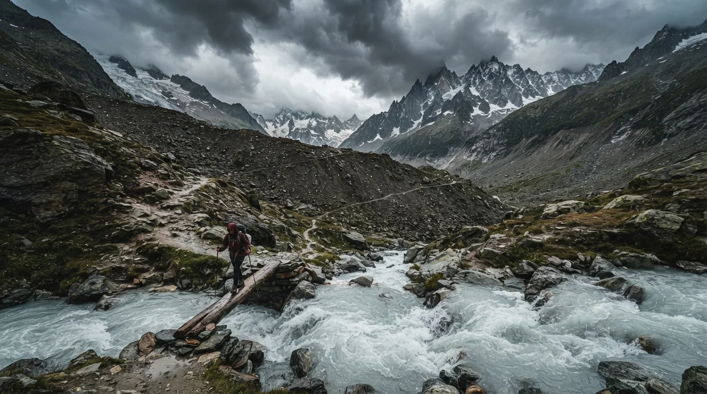
Glacial and snowmelt-fed rivers are at their most dangerous in mid-morning to early afternoon, when overnight ice has thawed and upstream melt peaks. Flow that looks manageable at 7 a.m. can be knee-deep and fast enough to knock an adult off their feet by noon. Depth alone is a poor indicator - turbidity (water cloudiness) and audible roaring are better cues to respect.
General principles for safer crossings include scouting upstream and downstream for naturally shallower, wider sections; unbuckling hip and sternum straps on backpacks so the pack can be shed quickly; using a sturdy trekking pole or staff on the upstream side for a third point of contact; and crossing diagonally downstream rather than straight across. Group crossings using a linked-arm technique can distribute force, though this requires practiced coordination. When conditions look marginal, waiting - for water levels to drop toward evening or for another route to present itself - is a legitimate and often wise decision.
Acute Mountain Sickness (AMS)
A common altitude-related condition marked by headache, nausea, and fatigue. It develops when the body ascends faster than it can adapt to reduced oxygen availability and typically resolves with rest or descent.
Couloir
A steep, narrow gully or channel on a mountain face, often filled with snow or loose rock. Couloirs concentrate rockfall and avalanche debris, making them high-hazard zones to traverse quickly or avoid.
Freeze-thaw cycle
The repeated freezing and melting of water within cracks in rock. Over time, this cycle widens fractures and progressively destabilizes cliff faces, increasing rockfall risk - particularly during warming spring and summer days.
HAPE / HACE
High Altitude Pulmonary Edema (HAPE) and High Altitude Cerebral Edema (HACE) are severe, life-threatening forms of altitude illness involving fluid buildup in the lungs or brain, respectively. Both require immediate descent and emergency medical care.
Acclimatization
The physiological process by which the body gradually adjusts to lower oxygen levels at altitude. It occurs over days and weeks, and cannot be meaningfully accelerated by fitness alone.
Turbidity
The cloudiness or opacity of water caused by suspended sediment. High turbidity in mountain rivers typically signals heavy glacial melt or rainfall upstream, both of which correlate with dangerous flow volumes.
Rockfall: Timing, Position, and Sound
Rockfall is among the most unpredictable backcountry hazards because it can originate from well above the visible horizon and travel faster than a runner. Freeze-thaw cycles, heavy rain, and warming temperatures all destabilize cliff faces. In active mountain ranges, early morning departures reduce exposure during the hours when overnight freezing has temporarily re-bonded loose material; as surfaces warm through the day, that bond weakens again.
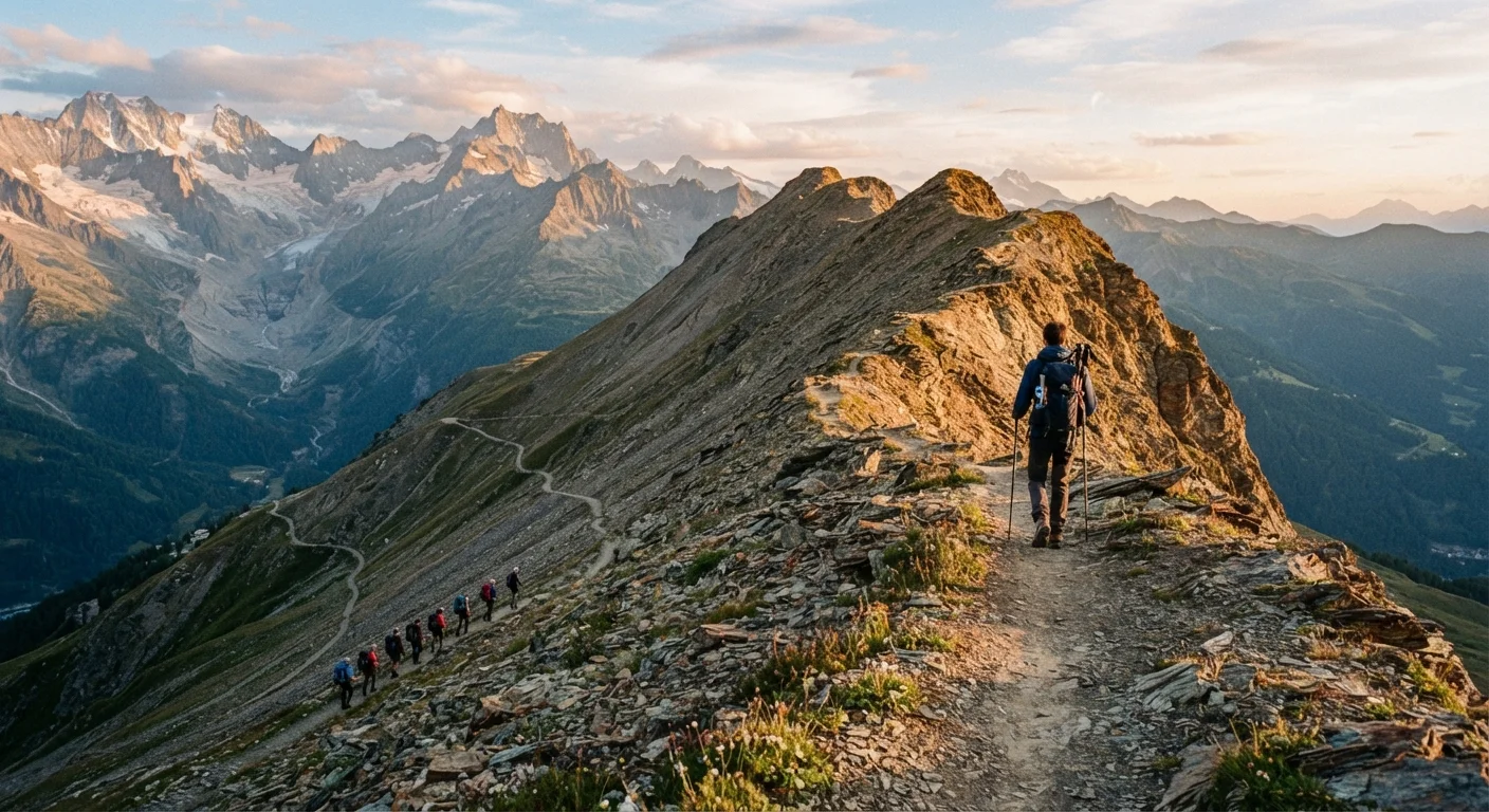
Positional awareness matters enormously. Couloirs (steep, narrow mountain gullies), cliff bases, and narrow canyon sections concentrate rockfall trajectories. Traversing exposed sections quickly rather than lingering, wearing a helmet in technical terrain, and learning to recognize the distinctive crack and rattle of falling rock - giving you time to press against a wall or seek overhead cover - are the core behavioral principles. Traveling in smaller groups reduces both the noise that can dislodge loose material and the time spent in high-exposure zones. For broader remote safety planning, practical guidance on emergency communication tools applies equally to foot-based wilderness travel.
~8,000 ft
Altitude where AMS risk begins to rise significantly
According to widely referenced wilderness medicine guidance, the threshold around 8,000 feet marks where acclimatization protocols become important for most travelers.
1 in 3
Trekkers experiencing AMS symptoms at high altitude destinations
Studies of trekkers in high-altitude regions such as the Himalayas suggest roughly one-third report AMS symptoms, underscoring how common the condition is regardless of fitness level.
Mid-morning
Peak daily window for glacial river crossing danger
Wilderness safety literature consistently identifies mid-morning to early afternoon as the highest-risk window for snowmelt-driven river crossings due to upstream temperature-driven discharge peaks.
Altitude Sickness: Ascent Rate, Acclimatization, and When to Descend
Acute Mountain Sickness (AMS) is the most common altitude-related condition and can affect otherwise healthy, fit individuals - there is no reliable correlation between physical fitness and altitude tolerance. Symptoms typically appear within 6-12 hours of arriving above roughly 8,000 feet (2,400 m) and include headache, nausea, fatigue, and poor sleep. More serious forms - High Altitude Pulmonary Edema (HAPE) and High Altitude Cerebral Edema (HACE) - are medical emergencies requiring immediate descent and professional care.
The foundational prevention strategy is a controlled ascent rate. A common general guideline is to avoid gaining more than 1,000 feet (about 300 m) of sleeping altitude per day above 8,000 feet, with a rest day every third day of gain. Staying well hydrated, avoiding alcohol in the first days at altitude, and taking rest days seriously - not treating them as optional - meaningfully reduces risk. Any symptom that is worsening rather than improving after 24 hours at the same altitude is a signal to descend, not wait. Decisions about medications used in altitude management should be made in consultation with a physician before departure, not improvised in the field. Pre-trip health planning for remote regions offers a useful parallel framework for high-stakes wilderness destinations.
This article is for general informational purposes only and does not constitute medical advice. Always consult a qualified healthcare professional regarding personal health decisions, altitude medications, or symptoms before or during wilderness travel. Verify all entry requirements, trail conditions, and safety advisories with official sources before departing.