
Why Navigation Myths Still Catch Experienced Drivers Off Guard
Even seasoned road trippers who've logged tens of thousands of miles carry a few navigation assumptions that quietly lead them astray. The tools have evolved - turn-by-turn apps, real-time traffic overlays, satellite imagery - but the myths have evolved right alongside them. The result is a false confidence that can strand you on a dirt road at nightfall or leave you staring at a "No Signal" icon in the one place you really needed directions.
These misconceptions aren't just for novices. They're the kind of subtle beliefs that settle in after a few smooth trips and then bite you on the one that isn't. The good news: each one is correctable with a bit of prep. For a broader look at how planning assumptions go wrong before you even leave the driveway, Itinerary Myths That Lead Travelers Astray is worth reading alongside this one.
Myth
GPS is accurate enough that I don't need any backup navigation.
Fact
GPS apps fail regularly due to signal loss, software glitches, outdated map data, and dead batteries - often in exactly the remote areas where you need them most.
Satellite-based navigation is genuinely impressive, but it has documented failure modes that catch drivers off guard. Canyons, dense forest, tunnels, and even tall buildings can interrupt satellite lock. App-based GPS also depends on your device staying charged, your software staying current, and - for real-time rerouting - a live data connection. In remote stretches of the American West or rural Appalachia, none of those three are guaranteed. Downloading offline maps before departure and carrying a physical backup aren't old-fashioned habits; they're the difference between a minor detour and a genuine emergency.
Myth
Cell coverage maps show me exactly where I'll have signal on my drive.
Fact
Carrier coverage maps are approximations based on theoretical tower range and are frequently inaccurate in hilly, forested, or sparsely populated areas.
The maps carriers publish are generated from tower data and propagation models - they don't reflect actual tested signal at ground level on every road. Terrain, tree cover, building density, and local interference all affect real-world performance in ways those maps don't capture. Drivers planning routes through mountain passes, national forests, or rural plains should assume gaps exist even where maps show coverage. Pre-downloading navigation, entertainment, and emergency contact information before leaving reliable signal areas is a practical standard for any trip leaving well-traveled corridors.
Myth
The arrival time my app gives me is a reliable estimate I can plan around.
Fact
App-generated ETAs are mathematical estimates based on average speeds and current traffic snapshots - they shift constantly and routinely underestimate real travel time.
Navigation apps calculate estimated arrival times using speed limits, historical traffic patterns, and live data where available. What they can't fully account for: construction delays that just started, a slow-moving RV on a two-lane highway, a 20-minute fuel stop, or the spontaneous detour you take because a roadside sign caught your eye. Studies of GPS ETA accuracy in varied real-world conditions consistently show meaningful divergence from actual arrival times, particularly on rural and mountainous routes. Build in buffer - at minimum 15-20% extra time on unfamiliar routes - and communicate flexible arrival windows to anyone expecting you.
Myth
If my GPS reroutes me, the new route is always safe for my vehicle.
Fact
Navigation apps frequently route vehicles onto unpaved roads, low-clearance bridges, or steep grades without warning - especially in rural areas with incomplete road data.
This myth has stranded RVs on forest service roads and sent sedans up switchbacks meant for high-clearance 4WD trucks. Routing algorithms prioritize speed and distance; they don't know your vehicle's height, weight, ground clearance, or your comfort level with gravel switchbacks. Incomplete road classifications in app databases make this worse in areas with extensive unpaved networks. Before accepting a reroute in unfamiliar territory, check the road type in the app's detail view, and - if you're driving anything larger than a standard passenger vehicle - verify the route is appropriate before committing. Myths About Road Trip Freedom covers related logistical realities worth knowing before you head out.
Myth
I can always find my way back by retracing the route my GPS took me.
Fact
Apps don't reliably store your exact driven route, and conditions - daylight, traffic, road closures - may make the return trip significantly different from your outbound drive.
Many drivers assume that because an app got them somewhere, it will navigate them home the same way. In practice, apps recalculate for current conditions on every new trip - which means your return route may differ substantially. Add in the reality that some roads are legally or physically one-directional, that darkness changes your ability to identify landmarks, and that road conditions shift throughout the day, and "just go back the way I came" stops being a reliable fallback. Screenshot your route or note key waypoints manually before entering areas with limited connectivity.
Building a Navigation Strategy That Doesn't Rely on a Single Tool
The through-line in every myth below is over-reliance - on one app, one data source, one type of coverage. Smart navigation on long drives is layered. That means downloading offline maps before you leave, keeping a physical atlas or printed route sheet in the car, noting fuel stops and key intersections ahead of time, and understanding which roads your vehicle can actually handle.
~30%
Rural US roads without reliable cell coverage
Federal Communications Commission coverage data and independent drive-test research consistently show significant gaps between carrier-reported coverage and actual rural signal availability.
1 in 5
Drivers report GPS routing errors annually
Consumer surveys on navigation app usage have found a notable share of drivers experience misdirection or routing errors at least once per year, most commonly on rural or less-traveled routes.
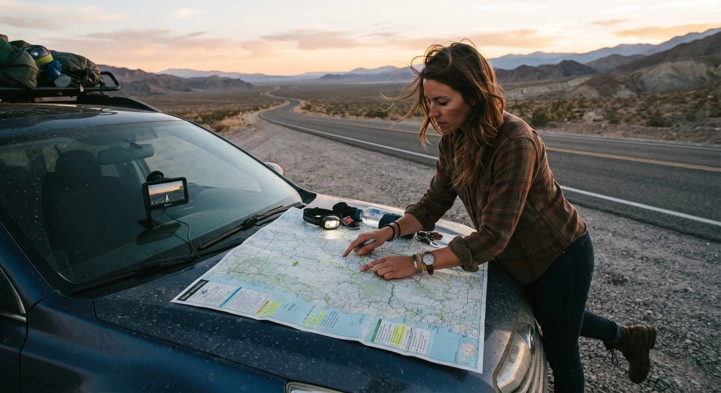
There's also something genuinely practical that paper maps still offer: spatial awareness. When you can see your entire route at once - not just the next turn - you make better decisions at forks and detours. Analog vs. Digital Navigation makes a compelling case for why even digital-first drivers benefit from keeping a map in the glovebox. And if you want to go deeper on the mindset that keeps road trippers adaptable and prepared, the Road Trip Lifestyle hub is a strong starting point.
Remote Routes Demand Extra Preparation
On roads through national parks, desert corridors, or mountain passes, navigation failures carry real consequences - not just added drive time. Before heading into areas with known coverage gaps, download offline maps for the entire region, share your itinerary with a contact, and carry a physical map and basic emergency supplies. Do not rely solely on a single app or device when traveling through isolated terrain.
Navigation on the road is never one-size-fits-all. Conditions change, apps have outages, and rural America has vast stretches where no tool will save you if you haven't prepared. Pair your digital confidence with analog backup, realistic time expectations, and an honest assessment of your route's terrain - and you'll be far better positioned for whatever the road throws at you.