How a Magazine Warning Became a Travel Legend
In 1986, Life magazine published a piece describing the Nevada stretch of US Route 50 as "the loneliest road in America" - and not as a compliment. The article cautioned would-be travelers that the route offered "no points of interest" and advised against attempting it without "survival skills." Nevada's tourism officials did something shrewd: they leaned in. They printed a Highway 50 Survival Guide, a passport booklet that invited drivers to collect official stamps in each town and mail back the card for a state-issued certificate declaring them a Loneliest Road Survivor.
What began as a dismissal became one of the most compelling road trip identities in the American West. Drivers who might have avoided the route now sought it out specifically for its reputation. The highway didn't change - the story around it did.
“The highway is a mirror. What you see in the emptiness says as much about you as it does about the land.”
— A veteran road travel writer, paraphrasing a common sentiment among US-50 devotees, Road travel essayist and long-distance driving advocate
The Road Beneath the Road: Layers of History
US-50 through Nevada doesn't just cross history - it is built on top of it. In the 1860s, Pony Express riders galloped these same corridors carrying mail between Missouri and California. A decade earlier, thousands of emigrants rolled their wagons westward along overland trails that the highway now approximates. By 1913, early automobile advocates formalized the Lincoln Highway, the first coast-to-coast auto route, which overlapped much of this same corridor.
That layering of use - Indigenous travel routes, emigrant trails, Pony Express, early auto roads, federal highway - gives US-50 a depth that most American roads can't claim. Roadside markers and small interpretive signs occasionally call out these connections, but the landscape itself does much of the storytelling. When you cross a dry lake bed or crest a basin-and-range summit, you're tracing movements that shaped the nation.
410 mi
Length of US-50 through Nevada
The Nevada segment runs from the Utah border near Baker to the California border near South Lake Tahoe, crossing eight mountain ranges.
~70 mi
Maximum gap between services in some stretches
Between certain towns, fuel stations and basic services can be up to 70 miles apart, making preparation essential for safe travel.
1986
Year the "Loneliest Road" nickname was coined
Life magazine first applied the label in a 1986 article, which Nevada's tourism office responded to with the now-famous Survival Guide passport program.
Towns Along the Way: Small, Stubborn, and Storied
The handful of towns punctuating Nevada's US-50 are not afterthoughts - they're the whole point. Ely, near the Utah border, anchors the eastern end with a preserved downtown and a historic copper mining heritage that shaped the region for generations. Its Nevada Northern Railway Museum offers one of the most intact original railroad complexes in the West. Eureka, roughly midway, is sometimes called the loneliest town on the loneliest road, yet its 1879 opera house still stands with remarkable integrity, a reminder that this remote outpost once roared with silver boom wealth.
Austin clings to a canyon wall in the Toiyabe Range, a silver-rush settlement that peaked in the 1860s and never quite fully let go. Fallon, at the western end, is the largest of the lot - an agricultural community in the Lahontan Valley with a Naval Air Station and a growing arts scene. Each of these towns rewards a slow stop rather than a fuel-and-go.
Plan Your Fuel Stops in Advance
Before setting out on any segment of Nevada's US-50, map your fuel stops carefully. Some gaps between towns exceed 70 miles, and not every small community has a station open at all hours. Carry extra water - at least a gallon per person - and a basic emergency kit, particularly in summer when temperatures in valley floors can climb well above 100°F.
The Desert Between: What the Empty Miles Actually Offer
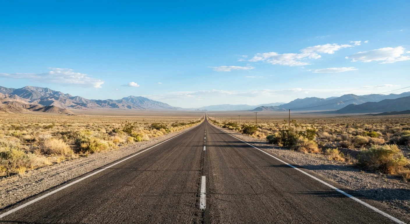
The stretches of highway between towns are the element that intimidates newcomers and captivates returning drivers. The Great Basin terrain that US-50 crosses is a series of north-south mountain ranges separated by wide, flat valleys - a pattern geologists call basin and range. From a car window, you climb over one range, descend into a valley, then climb again. The rhythm becomes almost meditative over time.
Wildlife crosses these corridors: pronghorn antelope, mule deer, and occasionally wild horses appear at roadsides. The night skies, far from urban light pollution, rank among the darkest in the lower 48. Driving at dawn or dusk produces light conditions photographers travel great distances to find. The emptiness, in other words, is full - just not in any way a conventional travel itinerary would describe.
For travelers accustomed to the cultural density of Route 66, the contrast here is sharp and deliberate. US-50's Nevada miles ask you to slow your expectations down to the speed of the landscape itself.
Seasonal Conditions Can Vary Significantly
Mountain passes along US-50 in Nevada can receive snow from late autumn through early spring, and some secondary roads off the highway may be impassable in wet or icy conditions. Summer heat in the basin floors presents the opposite challenge. Check current road conditions through Nevada's Department of Transportation and consult local sources before traveling. Always verify entry requirements, safety advisories, and road status with official sources before your trip.