A Geographical Confusion Worth Correcting
Ask a first-time visitor to place the Mississippi Delta on a map and they'll almost always point toward the Gulf of Mexico, where the river meets the sea. That's a reasonable instinct - and it's wrong. The Mississippi Delta, in cultural and travel terms, refers to the broad alluvial floodplain in the northwest corner of Mississippi state, bounded by the Mississippi and Yazoo rivers. It sits hundreds of miles north of Louisiana. The actual river delta - the bird-foot fan of sediment at the river's mouth - is a separate geographic entity altogether.
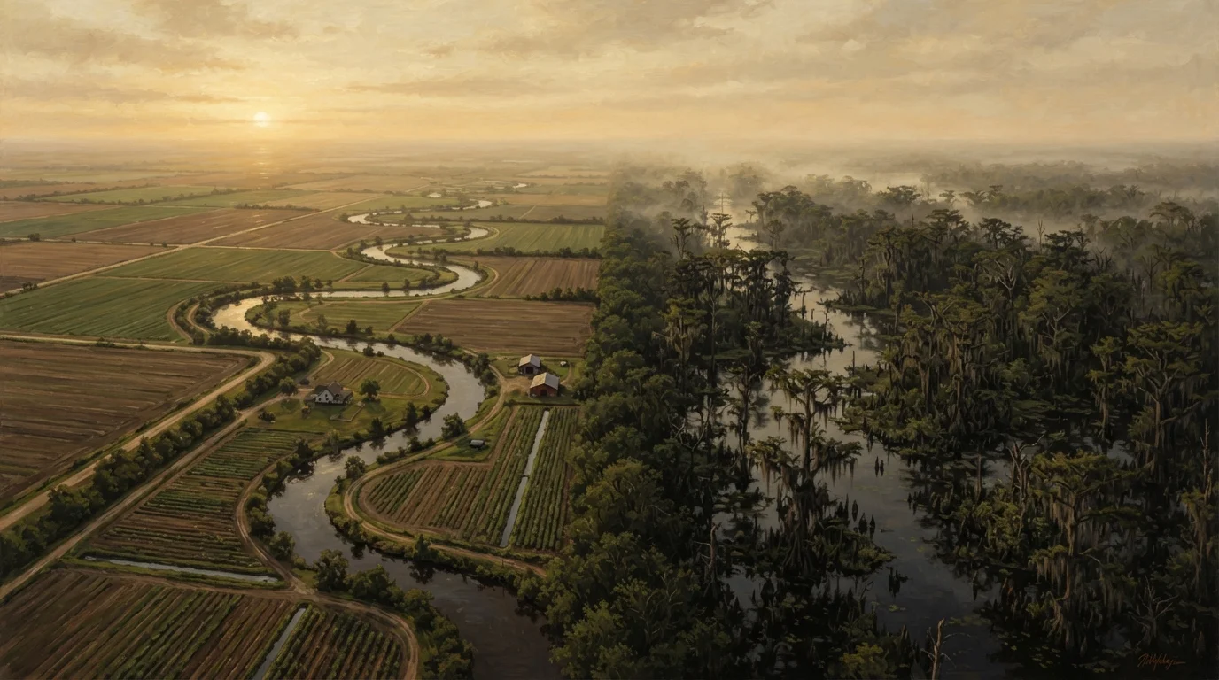
The Louisiana Bayou, meanwhile, isn't a single place. It's a dispersed network of slow-moving channels, marshes, and cypress swamps that threads across southern Louisiana from the Atchafalaya Basin in the west to the Terrebonne and Lafourche parishes in the east. Calling it one destination is like calling the Scottish Highlands one village. The misidentification of these two regions as interchangeable - both loosely filed under "the Deep South" - leads travelers to miss what makes each one irreplaceable.
| Criterion | Mississippi Delta | Louisiana Bayou |
|---|---|---|
| Geography | Inland alluvial floodplain, NW Mississippi | Coastal wetland network, southern Louisiana |
| Primary landscape | Flat farmland, rivers, small towns | Cypress swamps, slow bayous, marshland |
| Cultural roots | African American blues tradition, sharecropping era | Cajun, Creole, Indigenous, French colonial |
| Music tradition | Delta blues, soul, gospel | Zydeco, Cajun, swamp pop |
| Food character | Soul food, tamales, catfish | Crawfish, boudin, gumbo, étouffée |
| Main travel mode | Car (Highway 61 corridor) | Car and boat; some areas boat-only |
| Key environmental issue | Poverty, agricultural land use | Coastal erosion, wetland loss |
The Delta: Highway 61 and the Sound Beneath Everything
The Mississippi Delta is flat in a way that becomes meditative once you stop expecting hills. Cotton fields stretch to a low horizon, interrupted by water towers, grain silos, and the occasional rusting tractor. The towns along Highway 61 - Clarksdale, Greenwood, Indianola, Leland - are modest in scale but outsized in cultural significance. This is where the blues took shape as a distinctly American art form in the early twentieth century, forged by Black Southerners under the brutal conditions of the sharecropping economy.
Clarksdale remains the most accessible entry point. The Delta Blues Museum occupies a converted railroad freight depot and traces the music's roots with genuine care. On weekends, the Ground Zero Blues Club and a handful of smaller juke joints host live music in the unpretentious tradition the region is known for. Farther south, the B.B. King Museum in Indianola offers a more personal window into one musician's life as a way of illuminating the broader cultural landscape.
The Delta rewards slow travel. Driving the back roads between towns - past shotgun houses, Baptist churches, and roadside tamale stands (yes, tamales have been a Delta staple for over a century, likely introduced by Mexican railroad workers) - reveals a place still working through a complicated history with remarkable candor. For travelers interested in the fuller picture of American cultural geography, the Delta is essential.
The Bayou: Water as Landscape and Lifeblood
Entering the Louisiana Bayou by boat changes something in how you process space. The cypress trees rise from dark, still water on either side, their knobby root structures breaking the surface like small sculptures. Spanish moss hangs in long curtains. The silence is punctuated by herons, egrets, and the occasional distant outboard motor. This is a landscape shaped by water in every sense - ecologically, economically, and culturally.
The Cajun communities of the Atchafalaya Basin - towns like Henderson, Pierre Part, and the more remote Isle de Jean Charles, now facing severe coastal erosion - trace their roots to French-speaking Acadian exiles who arrived in Louisiana in the eighteenth century after being expelled from what is now Nova Scotia. Their food, music, and dialect evolved in relative isolation, producing a culture that remains fascinatingly distinct. Zydeco and Cajun music share instrumentation but differ in rhythm and influence; the Creole communities of the bayou country contributed the former, with its stronger African musical roots.
Coastal Land Loss in Bayou Country
Southern Louisiana is experiencing one of the fastest rates of coastal land loss in the world, driven by a combination of levee-altered sediment flows, subsidence, and rising sea levels. Some bayou communities that were accessible by road a generation ago are now partially submerged or reachable only by boat. Travelers should verify current access conditions for specific areas before visiting, and be aware that the landscape they see today may look different in coming decades.
Accessing the deeper reaches of bayou country requires planning. Some areas are best reached by guided boat tour or kayak; others can be explored by vehicle via the parish roads of Terrebonne and St. Mary. The Creole Nature Trail, a designated All-American Road in southwest Louisiana, offers a drivable route through coastal prairie and wetlands that few travelers outside the region know exists. Those planning a broader Southern journey might also find it useful to consider how these regional detours fit into a longer road trip - the coastal versus interior route question is worth thinking through before committing to an itinerary.
Why Treating Them as One Place Shortchanges Both
The conflation of the Delta and the Bayou flattens two of the most textured regional cultures in the United States into a generic "Southern swamp" backdrop. It also, practically speaking, produces bad travel itineraries. They are not adjacent. Driving from Clarksdale, Mississippi to the Atchafalaya Basin in Louisiana takes the better part of a day. Their histories, languages, cuisines, and musical traditions are distinct. The Delta's story is inseparable from the African American experience under Jim Crow and the Great Migration. The Bayou's story is tied to French colonial history, Acadian exile, Indigenous displacement, and the ongoing crisis of coastal land loss - Louisiana loses a significant area of coastal wetland each year to subsidence and sea-level rise.
~25-35 sq mi/yr
Louisiana coastal wetland lost annually
U.S. Geological Survey research has estimated Louisiana loses a significant portion of coastal land each year due to subsidence, altered sediment flow, and sea-level rise - one of the highest rates globally.
~800,000
Estimated Cajun-descent Louisianans
Scholars and cultural organizations estimate several hundred thousand to over a million Louisianans trace descent from the Acadian exiles of the eighteenth century, though precise figures vary by how identity is defined.
Experienced travelers who approach each region on its own terms tend to come away with something more than a collection of scenic photographs. They come away with a sense of how American geography carries history in its landscape - in the shape of a field, the color of water, the rhythm of a song heard through a screen door on a summer evening.