Why This Stretch of Gulf Shore Remained Undeveloped
Most of Florida's Gulf Coast was reshaped by real estate booms and highway construction across the mid-twentieth century. The Forgotten Coast escaped that fate for a combination of practical reasons: the bay's shallow, oyster-rich waters made industrial port development unattractive, U.S. Highway 98 dips inland here rather than hugging the beach, and the state of Florida and federal government steadily acquired large tracts for conservation. The result is a coastline where the skyline is still measured in tree canopy rather than condominium towers.
Apalachicola itself sits at the mouth of the Apalachicola River, the largest river by discharge in Florida, which drains the Chattahoochee-Flint watershed from Georgia and Alabama. That freshwater inflow sustains one of the most productive estuaries on the continent. Historically, the bay supplied nearly 90 percent of Florida's oyster harvest - a fact that defined the local economy and, by extension, kept the town small, working, and authentic in the way that resort destinations can never quite manufacture.
Oyster Fishery Recovery Is Ongoing
Apalachicola Bay's oyster population experienced severe decline following drought conditions that reduced freshwater flows and increased salinity, compounded by hurricane damage to reefs. Restoration efforts are actively underway through state and federal programs, but the bay's oyster harvest remains significantly below historical levels. Visitors should be aware that the oystering culture is in transition rather than at full production.
St. George Island and Cape San Blas: Two Beaches, Two Personalities
The most accessible beach entry points into the Forgotten Coast are St. George Island and Cape San Blas, connected to the mainland by a single causeway and a county road respectively. Both reward travelers who make the effort to reach them.
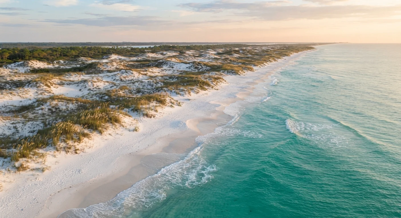
St. George Island is a narrow barrier island roughly 28 miles long. The eastern nine miles fall within St. George Island State Park, where dunes rise to striking heights for a Gulf island, and the sense of isolation is complete even at moderate times of year. The western end has a small village with rentable cottages, but nothing resembling a strip of chain restaurants or souvenir shops.
Cape San Blas, a slender peninsula curling off Gulf County to the west, edges into the Forgotten Coast conversation through its similar character: limited development, a significant portion inside Dr. Julian G. Bruce St. George Island State Park or managed as county land, and water that shifts from jade to cobalt depending on the light. For travelers who've found their way along lesser-known American coastal routes, the sensibility here will feel immediately familiar.
~260,000
Acres in Apalachicola National Forest
The Apalachicola National Forest, managed by the U.S. Forest Service, is one of the largest national forests east of the Mississippi River.
9 miles
Protected undeveloped beach in St. George Island State Park
The Florida Park Service manages nine miles of pristine barrier island shoreline at St. George Island State Park, one of the longest stretches of undeveloped Gulf beach in state protection.
~246,000
Acres in Apalachicola National Estuarine Research Reserve
NOAA designates the Apalachicola Reserve as one of the largest in the national system, reflecting the ecological significance of its estuary, watershed, and coastal upland habitats.
Apalachicola: The Town the Oyster Built
Arriving in Apalachicola for the first time tends to produce a quiet surprise. The downtown - a grid of nineteenth-century brick storefronts and Victorian houses draped in Spanish moss - looks less like a Florida beach town and more like a prosperous river port paused mid-century. That's essentially what happened. The timber trade and sponge industry that sustained early Apalachicola faded, but the bones of the town remained, and the oyster industry kept enough people in place to maintain them.
The food culture here is a direct expression of the landscape. Apalachicola oysters, harvested by hand from shallow-water lease beds in the bay, were long regarded as among the finest in the country for their clean, briny flavor. The oyster fishery has faced serious ecological stress in recent years due to freshwater flow disputes and hurricane impacts, and its recovery remains an ongoing story - but the town's identity as a working waterfront community endures. Seafood is eaten here in the practical, unfussy way of people who pull it from the water themselves.
“The Apalachicola estuary is one of the most biologically productive on the Gulf Coast - its combination of freshwater input, seagrass habitat, and tidal exchange creates conditions that support an extraordinary range of species.”
— NOAA National Estuarine Research Reserve System Documentation, Federal coastal research and management program
Getting Oriented: Logistics and What to Know Before You Go
The Forgotten Coast demands more planning than a resort vacation precisely because its infrastructure is minimal by design and circumstance. Groceries, fuel, and medical facilities are limited; Apalachicola has a small hospital, but travelers with serious medical needs should understand that Tallahassee is the nearest major care center.
Accommodation runs toward vacation rental cottages, a handful of independent inns, and the occasional bed-and-breakfast in Apalachicola's historic district. Camping is available within St. George Island State Park, with reservations recommended well in advance for spring and fall weekends. The region does not have large chain hotels, and that absence is part of what makes it worth visiting.
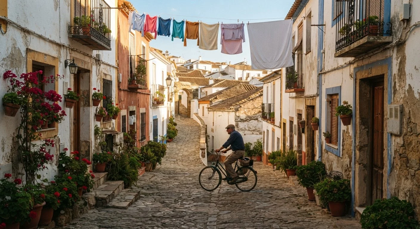
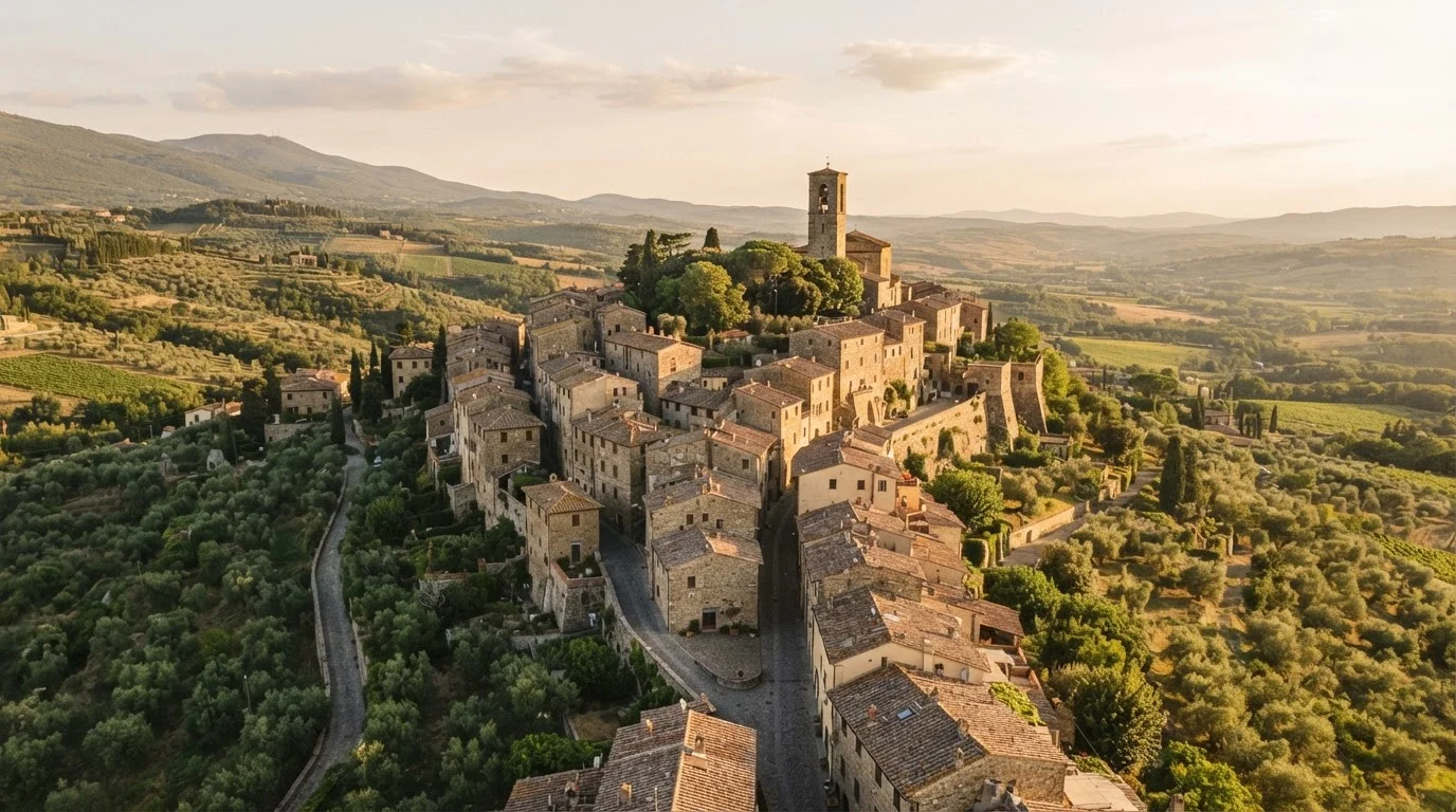
For travelers who find the appeal of the Forgotten Coast resonates with a broader appetite for underexplored places - the preference for the working town over the tourist stage set - Portugal's interior regions offer a strikingly similar dynamic across the Atlantic: landscapes shaped by a single industry, bypassed by mass tourism, and quietly extraordinary for exactly that reason.
Time Your Visit Around the Tides
On St. George Island and in the bay shallows around Eastpoint, low tide reveals oyster bars, sand flats, and wading bird activity that disappear under the water at high tide. Check a local tide chart before planning kayak outings or shoreline walks - the difference between low and high tide here can transform the landscape entirely.
Visa, entry, and travel advisory information changes frequently. Always verify current requirements and conditions with official government and provider sources before making travel plans.